One Shared Map, Updated in Real Time
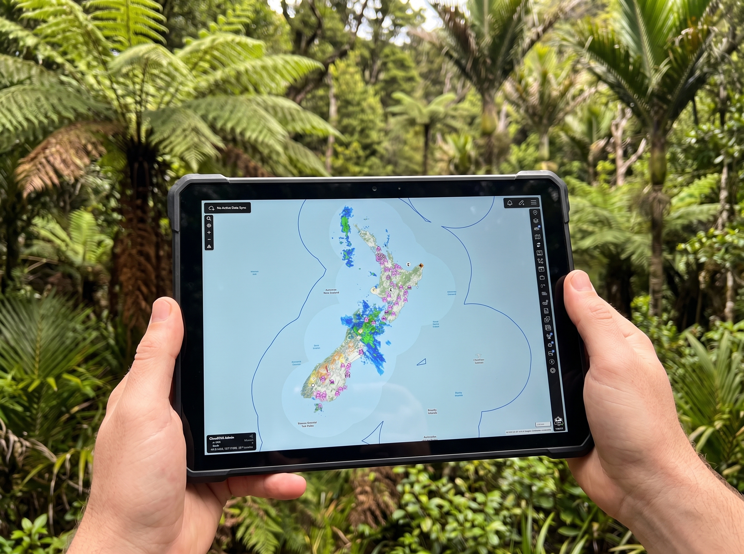
TAK (Team Awareness Kit) puts every responding unit, vehicle, aircraft, and hazard on a live, shared map that everyone on the same channel can see at once. It’s used by public safety agencies around the world for exactly this reason: it solves the problem of knowing who’s where, in real time, across agencies that don’t normally share a radio channel or a records system.
TAK.NZ runs on whatever device you already carry — a phone, a tablet, a laptop, or a browser on a command post screen. Everyone sees the same picture, just presented the way that works best for how you’re using it.
RELAY: Your AI Assistant, Built for New Zealand
TAK.NZ includes RELAY, a built-in AI assistant you can chat with right inside the app. Ask RELAY a question about emergency response procedures, get the latest GeoNet earthquake or volcano alert, check current road closures, or ask it to drop a marker on the map for you — all without switching tools or looking anything up.
RELAY is unique to TAK.NZ. It’s not something you’d find in TAK elsewhere in the world — it’s been purpose-built around how New Zealand responders actually work.
Built for How New Zealand Responds
Every responder on the map shows up as a colour-coded dot, and the colour tells you what they do — red for fire and rescue, blue for police, green for health and ambulance, and so on. You can tell at a glance what kind of responder you’re looking at, even in a large, busy, multi-agency response.
TAK.NZ is also fully open source — the technology behind it isn’t a black box, and it’s freely available for anyone to review. Read more about our approach to security.
Questions about our technology? Contact our technical team to discuss implementation details for your organisation.