More Than Just Your Team’s Positions
TAK.NZ doesn’t only show where your people are — it also brings in live information from outside sources and displays it right alongside your team, on the same map, with no extra tool to learn.
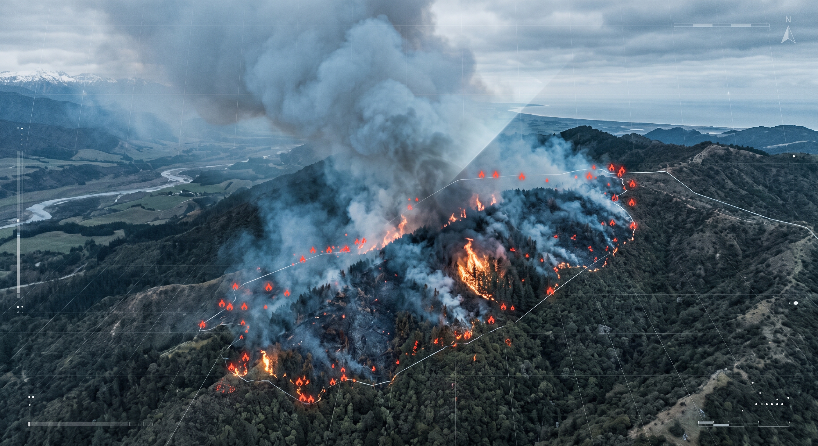
During a wildfire, that might mean seeing firefighting aircraft in the sky above your crews. During a maritime search, it might mean seeing nearby vessels. During a severe weather event, it might mean seeing the latest official weather warnings and Civil Defence alerts appear automatically, right where they’re relevant on the map.
Other feeds already available include live earthquake and volcano activity from GeoNet, satellite-based fire detection, and beach safety and water quality status — each one just another layer you can turn on or off depending on what you need for the job at hand.
Growing With New Zealand’s Needs
New data feeds are added as they become useful for New Zealand’s emergency response community, and TAK.NZ’s integration approach is openly documented, so it’s not locked to a fixed set of sources.
Ready to integrate your systems? Contact our technical team to discuss your integration requirements and develop a custom solution for your organisation.